
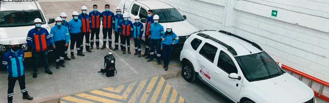
OCA Global Colombia performs infrastructure inspections and surveys with LiDAR technology
23.06.2022
OCA Global Colombia has been selected to execute an innovative contract in: "Construction of the 2D and 3D Base Layer of the digital twin of Enel Codensa S.A. ESP", LiDAR 360 Mobile Solution Service, a project with a duration of 36 months.
LiDAR (Laser Imaging Detection and Ranging) is a technology that allows measuring distances between a sensor and an object, calculated by the round-trip ratio of the sensor establishing a distance to generate a georeferenced coordinate.
Two state-of-the-art devices are used for this purpose: Leica Pegasus: Two Ultimate (MMS) and Leica Pegasus: Backpack (MMS). The former is used in land, river and railway applications, while the latter is used by means of a backpack type system, i.e. a person holds the equipment on his back to capture information. This information capture is related by a SLAM algorithm, which searches for counterpart points in the cloud in real time and, in this way, generates a map and locates itself within it, just as autonomous vehicles do.
With the award of this innovative contract, OCA Global is positioned as a reference company in the use of this technology in Colombia, for the collection of information through MMS, guaranteeing a very complete data capture and reaching centimeter accuracies, regardless of the conditions or the difficulty of access in the field.